Geoscientific Visualization
in equal parts headed by Dr. Steffen Frey and Dr. mat. nat. Christian Kehl
The geoscientific domain poses distinct challenges for the tasks and the data in the visualization design process. Due to the nature of investigating earth processes (e.g. geology, topography, hydrology and oceanography, the atmosphere), the study horizon is so large that miniature samples are employed to derive hypotheses on larger systems. This essential sampling problem leads to fuzziness and uncertainty as central aspects in all visualization tasks, from exploration and knowledge extraction to communication and illustration. Simultaneously, the data used within the geosciences have a dedicated spatial context while by themselves describing spatial processes on separate levels. Consequently, observed data - be they LiDAR scans, satellite maps, tomographic/seismographic reconstructions or sparsely-distributed individual samples - are exceedingly noisy, demanding special attention for filtering and preprocessing. Conversely, idealized simulations and models are subject to bias, they are sensitive to initial conditions and are naturally affected by stochastic uncertainty. Moreover, the complexity of geoscientific processes commonly requires the synthesis and assimilation of multiple data sources- and dimensions, which is in and of itself a challenge.
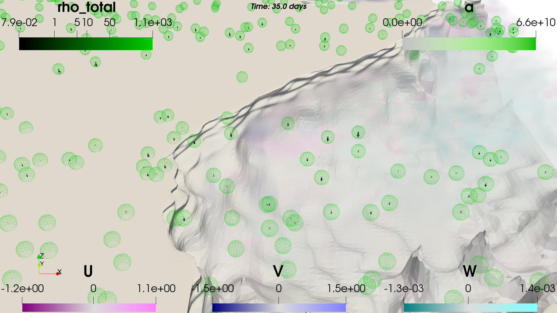
In our research, we address visualization challenges along the whole visualization pipeline. This includes approaches for large-scale data analysis- and presentation, efficient space-time filtering methods and data reduction and the statistical synthesis of massive stochastic simulation. Additionally, we develop novel mapping techniques to represent multivariate 2D- and 3D data in their topographic context, and explore volumetric interaction- and mapping techniques to explore the predominantly non-isometric terrestrial data. Considering the technical baseline to facilitate this research, we collaborate on extending geo-simulations and modeling methods for large data at interactive timeframes, and employ deep learning techniques to approximate geoscience processes from massive data observations.
In this research endeavor, we always welcome new partners and collaborations. We have considerable experience in application-driven partnerships with oceanography, (reservoir) geology and the energy sector, as well as atmospheric-meteorological research initiatives.

